Aerial photos that show buyers the full picture: lot size, outdoor space, proximity to parks, water, transit, and the neighborhood around it.
Book Aerial Photography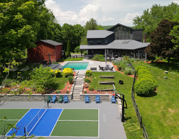
Ground-level photos can only tell half the story. Aerial photography gives buyers the full picture: how large the lot really is, how private the backyard is, what the neighborhood looks like, and how close the property is to parks, schools, or waterfront.
For properties where the land, views, or location are a major selling point -- lake-front, cul-de-sac, or corner lots with mature trees -- aerial photos make a real difference.
All drone flights are conducted by FAA Part 107 certified pilots. We handle any necessary airspace authorizations so every flight is legal and compliant.
Every aerial session is tailored to the property. Here’s what we typically cover.
Top-down and angled shots that show the full footprint, lot size, and how the property sits on the land.
Pool, patio, landscaping, fencing: outdoor features that interior photos can’t fully convey.
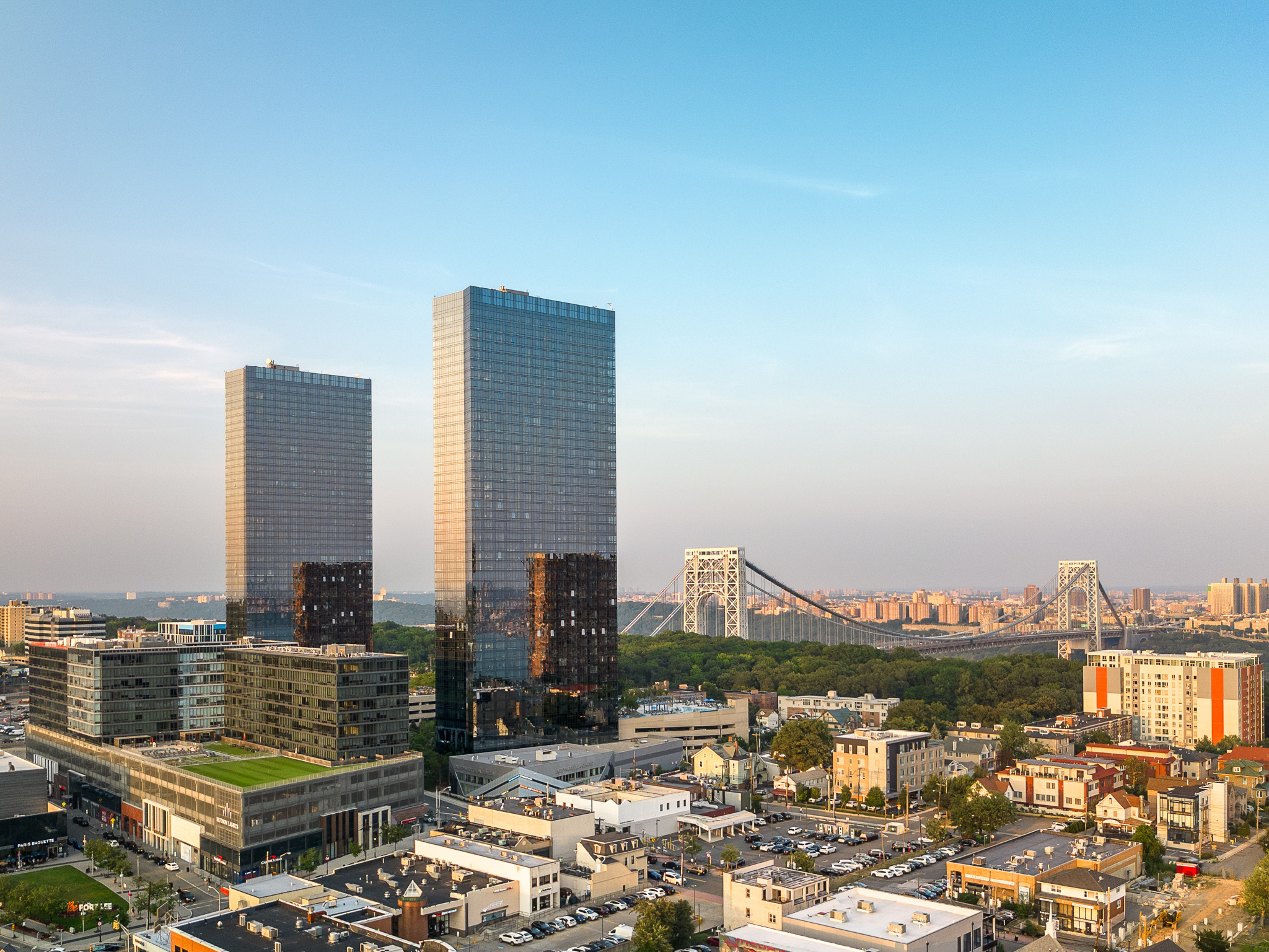
Proximity to streets, parks, water, commercial areas, and transit. The context that helps buyers decide from a distance.
Timed for the best natural light, aerial shots at blue hour or golden hour create a dramatic, memorable first impression.
Aerial angles along the street show curb appeal, driveway length, and the approach to the front door.
Typical sessions deliver up to 10 fully edited aerial images, enough to cover the full outdoor picture.
Aerial photos are delivered as fully edited, high-resolution JPEGs in a single download link. They’re sized for MLS upload, Zillow, Realtor.com, and social media without any re-sizing needed.
7 Days a Week · Fort Lee, NJ · 8-County Coverage
Fill out our quick form or give us a call. We’ll confirm your date and package within a few hours.